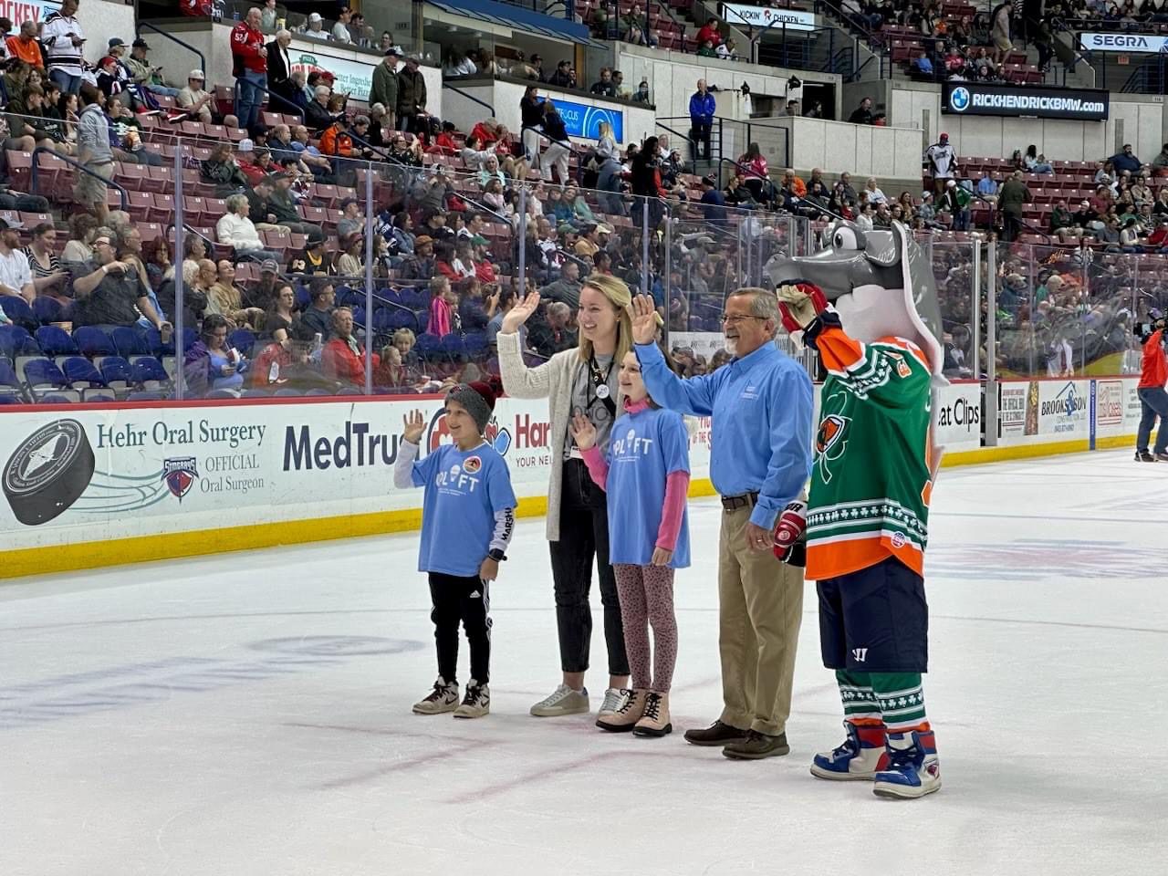
On Friday, we were proud to sponsor The South Carolina Stingrays non-profit night with The Lonon Foundation. The Lonon Foundation…
Read More

C. T. Lowndes & Company is an independent insurance agency that strives toward being the insurance agency of choice while building customer relationships through honesty, integrity, and outstanding service.
Privacy Policy and Terms of Use | Website Accessibility
We are licensed in: AL, CA, CO, CT, FL, GA, KY, ME, MD, MI, MS, NJ, NY, NC, OH, PA, SC, TN, TX, VA, and WV.
California License #: 6004058
California Filed Name: C.T. Lowndes & Company Insurance Agency
© 2024 C. T. Lowndes & Company. All rights reserved.
Powered by Forge3 ActiveAgency.